
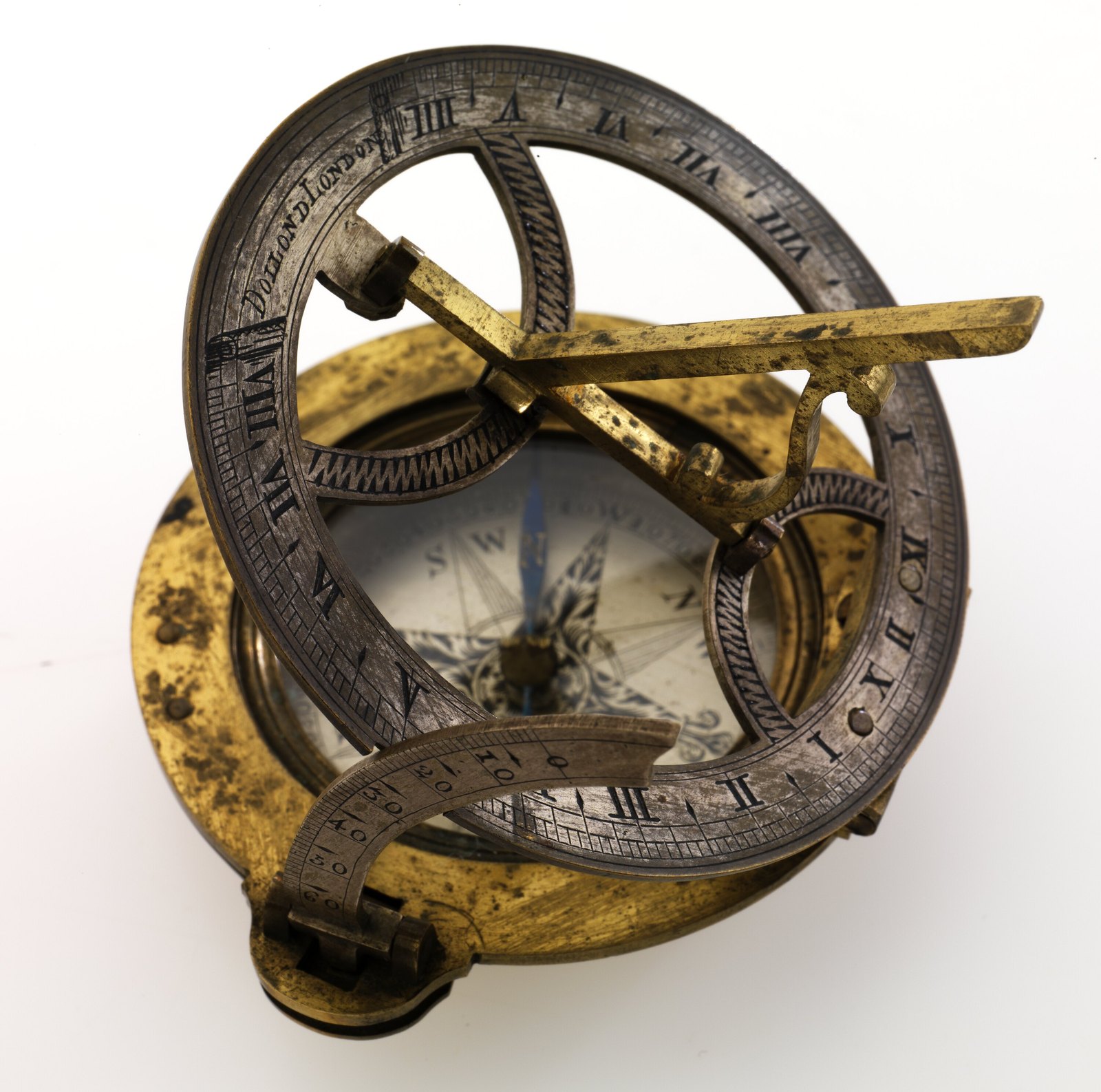
Instruments · Pocket compass sundial
Pocket Compass Sundial - George Bass, c. 1790
- Maker / attribution
- Unrecorded in source
- Date
- c. 1790
- Historical period
- Precision & Scientific Horology (1750 – 1850)
- Country of origin
- Unrecorded in source
- Object type
- Pocket compass sundial
- Dimensions
- 65 mm (Width), 70 mm (Depth), 21 mm (Height); 75 mm (Width), 75 mm (Height); 65 mm (Width), 21 mm (Height)
- Holding institution
- Museums Victoria, Melbourne
- Accession / object no.
- HT 29959
- Credit line
- Donated in the memory of William F. Wilson by the Wilson-Anastasios, Wilson and Dubar families. Donated through the Australian Government's Cultural Gifts Program.
- Catalogue title (original)
- Pocket Compass Sundial - George Bass, circa 1790 (English)
View the source record ↗ (opens another website in a new tab)Suggest a correction
Record summary
Held and catalogued by Museums Victoria, Melbourne (object number HT 29959), this is a pocket compass sundial, dated c. 1790. The Atlas places it in the Precision & Scientific Horology period (1750 – 1850) of its Instruments collection. Recorded dimensions: 65 mm (Width), 70 mm (Depth), 21 mm (Height); 75 mm (Width), 75 mm (Height); 65 mm (Width), 21 mm (Height). The record is illustrated with 6 photographs.
Assembled from the source record's structured fields. Dates and attributions are given as the source states them; where a field is missing the Atlas leaves it blank rather than estimating.
Catalogue description
Summary — Museums Victoria
Pocket compass sundial used by George Bass on the whaleboat expedition that explored the coast of Victoria as far as Westernport Bay, 1797-98. The expedition provided the first European sighting of Wilsons Promontory and suggested the existence of Bass Strait separating Tasmania from the Australian mainland. The pocket compass and sundial was manufactured in London by the eminent optical instrument maker Peter Dollond. After its use by Bass it was passed on through the family of Elizabeth Waterhouse, Bass' wife, before being purchased at auction in 1998 by Victorian surgeon William F. Wilson as part of an extensive collection relating to George Bass.
Physical description — Museums Victoria
Pocket compass sundial. The sundial made of brass, is moveable with a moveable arm that is hinged to the top of the compass. The compass is made of both brass and steel and has a glass lid and blue coloured dial.
Significance — Museums Victoria
This compass is a unique item of national significance to the early maritime exploration of Australia and in particular the Victorian coastline and Tasmania. The compass was used by George Bass and his crew of six on the expedition in an unnamed whaleboat from Sydney to Westernport Bay between December 1797 and February 1798. This was the first European voyage to explore the Victorian coastline between Point Hicks and Westernport Bay. Notable features include the first European sighting of Wilsons Promontory, and the discovery and naming of Westernport Bay. The length of the voyage undertaken in an open boat, over 3000 kilometres, made Bass's skills in navigation and seafaring highly regarded at the time. The voyage provided the strongest evidence to date that Tasmania was an island, separate from the mainland. Bass actually attempted a crossing of the strait on this voyage south of Wilsons promontory but bad weather forced him to turn back. Together with Matthew Flinders' separate voyage to the Furneaux Islands in February 1798, the whaleboat voyage prompted the mission to circumnavigate Tasmania undertaken by Bass and Flinders in the Norfolk between October 1798 and January 1799. After this voyage Flinders proposed naming the strait between Tasmania and the mainland Basses Strait (later Bass Strait) in honour of his friend's whaleboat voyage. The provenance of the pocket compass and sundial before the whaleboat journey is not known, however presumably it travelled to New South Wales in 1795 aboard either the Reliance or the Supply. The pocket compass returned to England with George Bass in 1800. It then came into the possession of Elizabeth Waterhouse, who married Bass in September 1800, along with a note from Henry Waterhouse, captain of the Reliance, explaining the significance of the object. The compass was passed on through this family until sold at auction in 1998.
Provenance
Cultural Gifts Donation from Dr Meaghan Wilson-Anastasios, Ms Victoria Wilson, Mr Adrian Dubar, 22 Nov 2011
Historical context
Precision & Scientific Horology (1750 – 1850)
Harrison solves longitude; Mudge invents the lever; Breguet's Paris workshop defines the modern watch.
The longitude problem was solved by the marine chronometer and lunar distance methods; dividing engines made precision scales possible, and observatories set time by transit instruments.
Read the period in the timelineMore instruments from this periodEarlier: Early Modern Horology
Atlas type guide
Sundials and solar time-finders
A sundial tells time from the position of a shadow cast by a gnomon or style. Because the sun's apparent motion depends on latitude, every fixed dial is laid out for a particular latitude, and portable dials either carry a latitude scale or are made for one region. Sundials show local apparent solar time, which drifts against mean (clock) time by up to about sixteen minutes over the year — the equation of time.
Portable dials were the pocket instruments of the sixteenth to eighteenth centuries. Nuremberg and Augsburg workshops produced folding ivory diptych dials with inset compasses; English and French makers sold brass horizontal dials, ring dials and the Butterfield type; Japanese and Chinese makers had their own traditions of compass dials. After mechanical watches became reliable, dials remained in use for setting them, and nineteenth-century heliochronometers were built to correct directly for the equation of time.
What to look for
- The latitude engraved on the dial plate or a latitude arc on the gnomon — it shows where the dial was meant to be used.
- The type of hour lines: equal (equinoctial) hours, Italian or Babylonian hours counted from sunset or sunrise, or unequal temporal hours on early and Islamic instruments.
- An inset magnetic compass and whether a magnetic-declination mark is drawn on its card — a useful dating clue because declination changes over time.
- Maker's signatures and town marks: Nuremberg compass-makers (Kompassmacher) often struck a personal mark and the town's punch.
- Additional scales such as lunar volvelles, wind roses, perpetual calendars or lists of cities with their latitudes.
Dating clues
- Ivory diptych dials are characteristic of Nuremberg between about 1500 and 1700.
- Butterfield-type dials with a bird-shaped adjustable gnomon point to Paris workshops from the late seventeenth century onward.
- Equation-of-time tables engraved on the plate became common after the mid-seventeenth century, once pendulum clocks made the difference between solar and mean time obvious.
General guidance written by the Atlas editors about this kind of object. It is not a statement about this particular piece; for that, rely on the source record above and on physical examination.
Read next:The history timeline
Related records
Instruments · 1726–1775
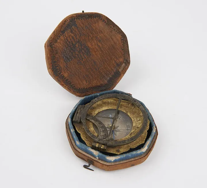
Universal equinoctial sundial of the Augsburg type, signed on the base "L T M" (Ludwig Theodatus Muller). In original case. German, mid 18th century. (B1670)
Science Museum Group, London
Instruments · 1731–1776
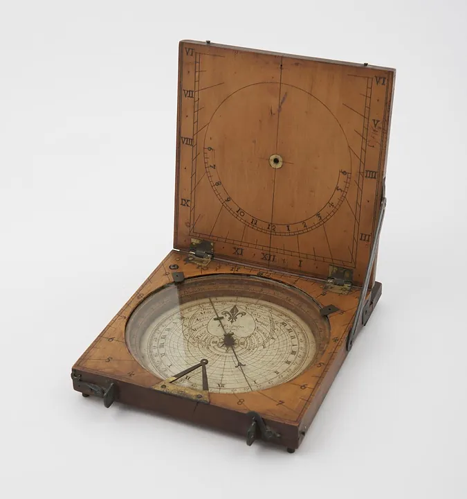
Azimuth compass sundial by James Ferguson, London, England, 1731–1776. Could also be used as a tablet sundial - string gnomon is missing (see note).
Science Museum Group, London
Instruments · 1734–1770
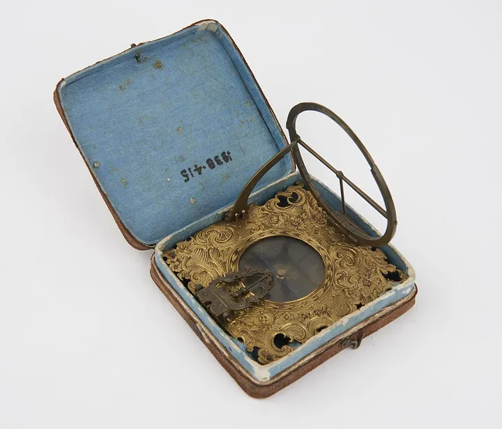
Sundial by Ludwig Theodatus Muller, Germany, 1734–1770 (no. 1938-415)
Science Museum Group, London
Instruments · 1734–1770
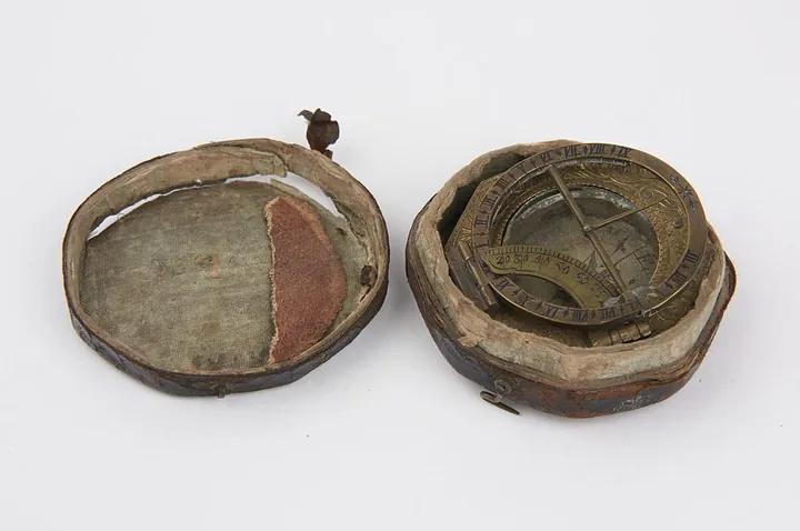
Sundial by Ludwig Theodatus Muller, Germany, 1734–1770 (no. 1991-138)
Science Museum Group, London
Instruments · 1734–1770
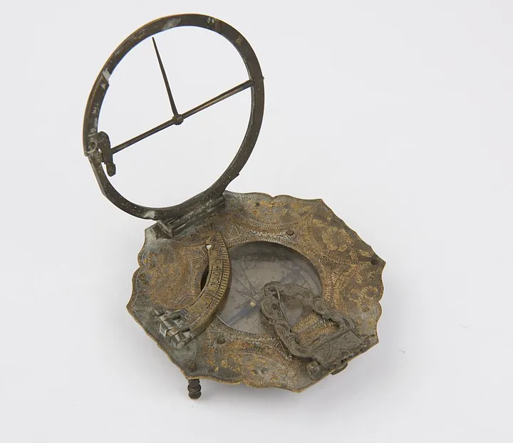
Sundial by Ludwig Theodatus Muller, Germany, 1734–1770 (no. 1991-192)
Science Museum Group, London
Instruments · 1738–1777
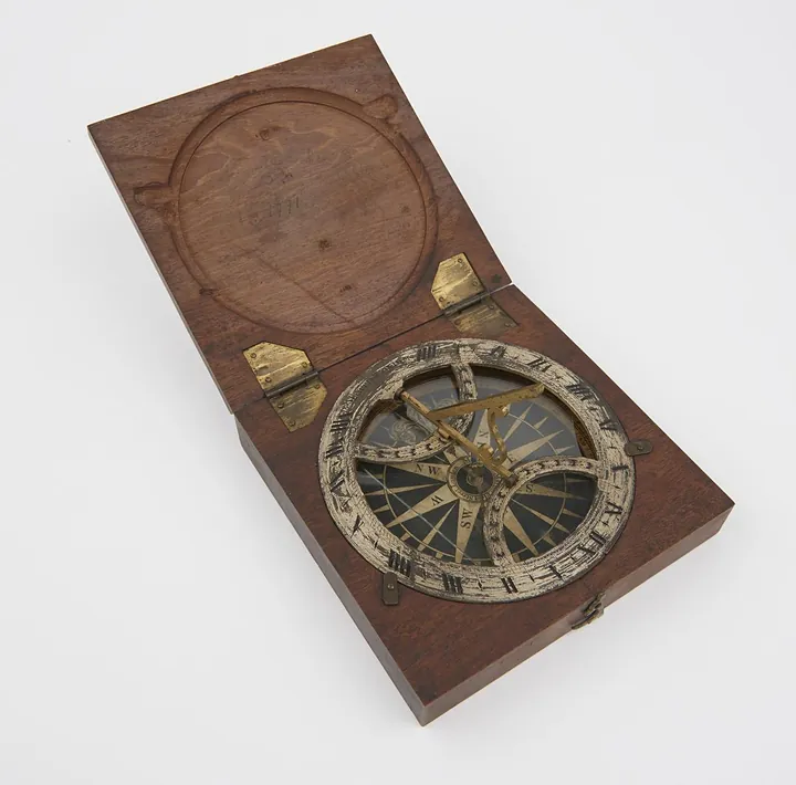
Azimuth sundial 4 3/8" diam, with folding gnomon fitted in mahogany case, made by B. Martin
Science Museum Group, London
Instruments · 1745–1755
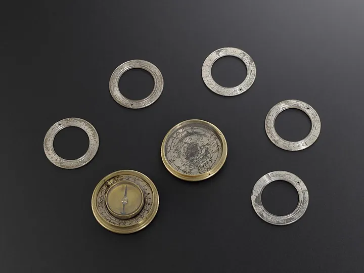
Magnetic Sundial with six loose hour rings
Science Museum Group, London
Instruments · 1745–1755
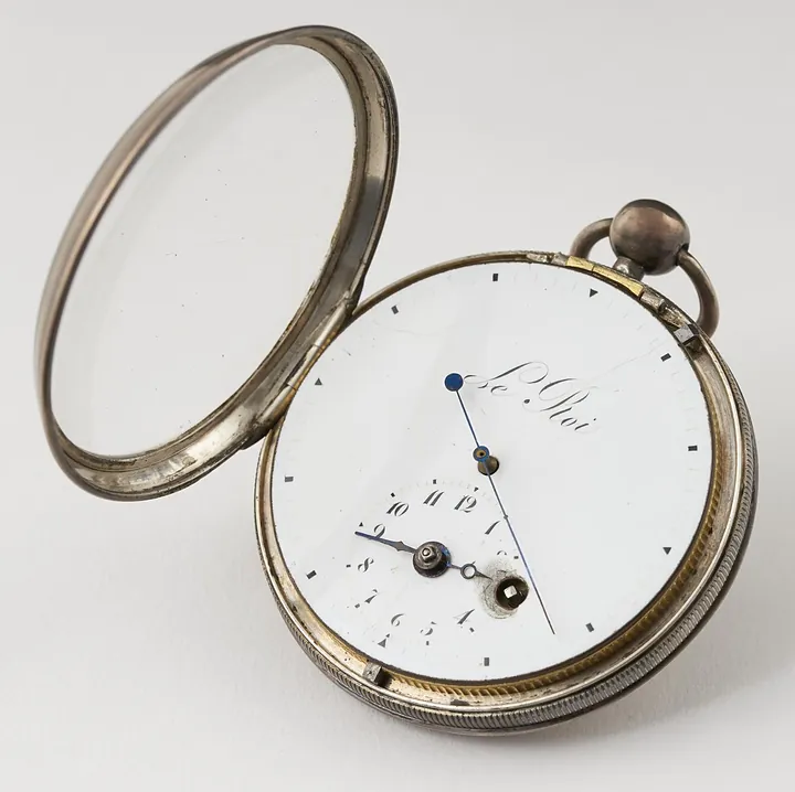
Verge stop-watch with centre seconds hand, by Le Roi, 1745–1755 (see note).
Science Museum Group, London