Instruments · Astrolabe
Islamic metalwork
- Maker / attribution
- Unrecorded in source
- Date
- 1781
- Historical period
- Precision & Scientific Horology (1750 – 1850)
- Country of origin
- Unrecorded in source
- Object type
- Astrolabe
- Materials / technique
- copper alloy, brass
- Dimensions
- Height: 35.5 cm; Diameter: 20.3 cm; Depth: 3 mm; Weight: 2.9 kg
- Holding institution
- Victoria and Albert Museum, London
- Accession / object no.
- M.826-1928
Record summary
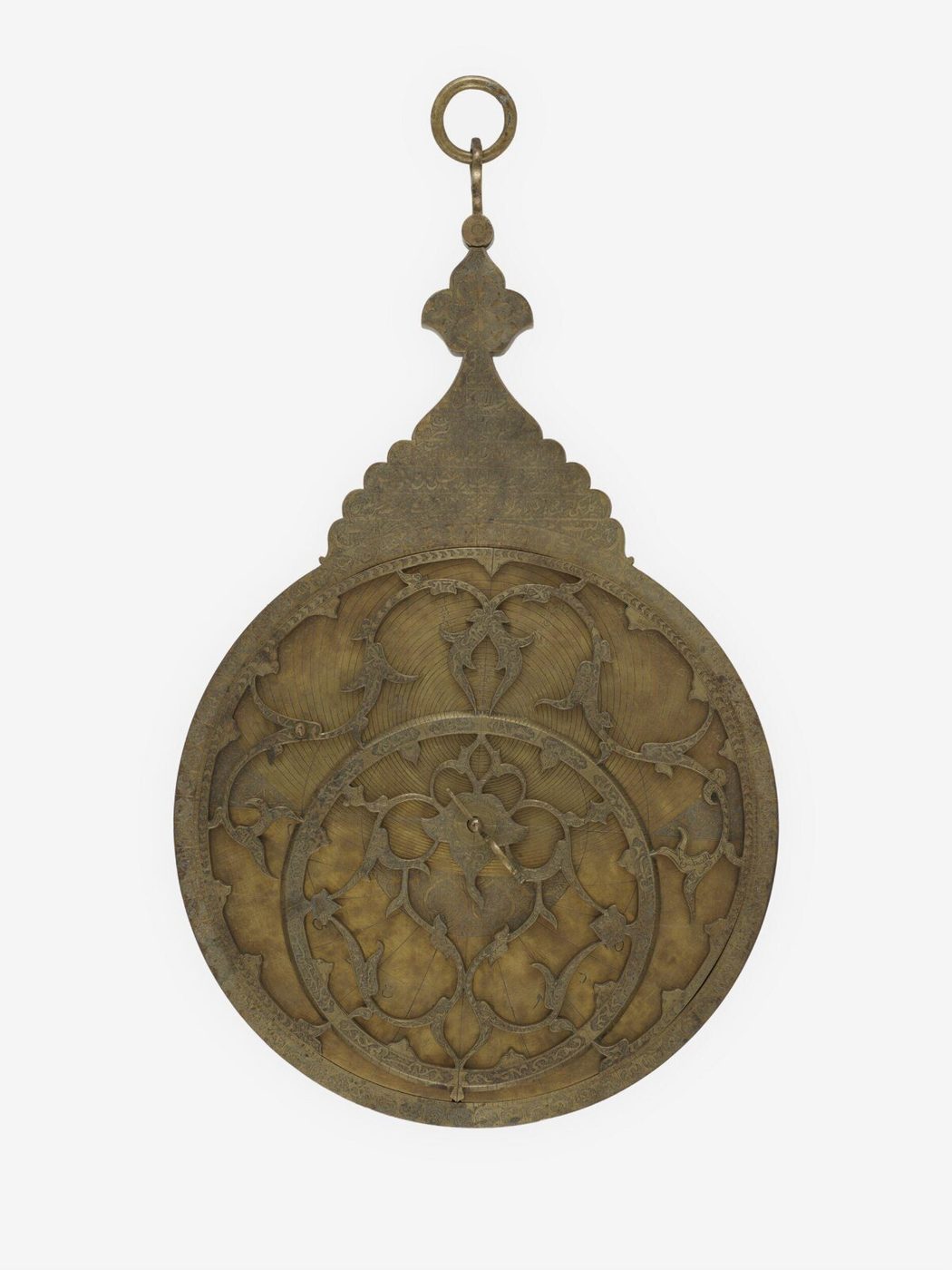
Held and catalogued by Victoria and Albert Museum, London (object number M.826-1928), this is an astrolabe, dated 1781. The Atlas places it in the Precision & Scientific Horology period (1750 – 1850) of its Instruments collection. Materials and techniques recorded by the source: copper alloy, brass. Recorded dimensions: Height: 35.5 cm; Diameter: 20.3 cm; Depth: 3 mm; Weight: 2.9 kg. The record is illustrated with 4 photographs.
Assembled from the source record's structured fields. Dates and attributions are given as the source states them; where a field is missing the Atlas leaves it blank rather than estimating.
Catalogue description
V&A — Physical description
The astrolabe consists of a mater (casing), with an extension at the top (called the kursi in Arabic) that is of complex shape and structure and ends in a loop for a suspension cord; a rete (openwork star map); seven plates for different latitudes; an alidade (viewing device); and the pin and "horse" that hold the instrument together. The accuracy of the scientific data engraved on the astrolabe has not been assessed, and the following is based on the presumption that the main captions engraved on the plates are correct. Going by these, the northernmost latitude at which the astrolabe could be used was 40° N, which is approximately the latitude of Astrakhan (now Volgograd in Russia), and the sourthernmost, 29° N, which is the latitude for Shiraz in Iran. There is, as expected, a plate engraved for 37° N, which is the approximate latitude of Urmia, the residence of the man who commissioned the instrument and its place of manufacture by 'Abd al-Ghafur. One plate bears a tablet of horizons on one side, but all seven have been engraved on both sides, so that there are 13 plates for specific latitudes. The captions on the plates that give the latitude and the length of the longest day are engraved in a crescent-shaped area below the horizon line. There are two different formats, one with the text presented unframed, as though written over the plant-based ornament that forms the background (A), the other with the two texts in separate scalloped cartouches (B). In A, the wording is, "for latitude ...", and in B, "latitude". This suggests that the instrument is composite. This is supported by the presence of two plates engraves for 30°N. On the other hand, two plates are engraved in format A on one side, and in format B on the other. The plates are for the following latitudes: 1/1 format B 29° N 1/2 format B 30° N, with 30 represented by the abjad letter L 2/1 format A 30° N, with 30 represented by the abjad letter L plus an astronomical sign marking the absence of further letters. 3/1 format A 32° N 4/1 format B 33° N 5/1 format B 34° N 6/1 format A 35° N 5/2 format B 36° N 2/2 format A 37° N 6/2 format B 39° N 7/1 format B 40° N 7/2 format B 43° N 3/2 format B 46° N 4/2 tablet of horizons Tim Stanley
Inscriptions & marks
; ;
Historical context
Precision & Scientific Horology (1750 – 1850)
Harrison solves longitude; Mudge invents the lever; Breguet's Paris workshop defines the modern watch.
The longitude problem was solved by the marine chronometer and lunar distance methods; dividing engines made precision scales possible, and observatories set time by transit instruments.
Read the period in the timelineMore instruments from this periodEarlier: Early Modern Horology
Atlas type guide
Astrolabes, quadrants and astronomical compendia
The planispheric astrolabe is a two-dimensional model of the sky. A pierced rotating star map (the rete) turns over a plate engraved for a particular latitude; by aligning a star or the sun with its observed altitude, the user can read the time of day or night, the time of sunrise and sunset, and solve many other astronomical problems. Developed in the Hellenistic world and refined by astronomers in the Islamic world from the eighth century, it reached Latin Europe through al-Andalus.
Quadrants, compendia, armillary spheres and later orreries belong to the same family of instruments that model the heavens. They were teaching tools, status objects and practical time-finders. Many surviving examples are signed and dated, which makes them important evidence for the history of instrument-making workshops in Baghdad, Isfahan, Lahore, Toledo, Louvain, Nuremberg, London and elsewhere.
What to look for
- The latitudes engraved on the plates — they show which cities the instrument was made for.
- The script and calendar used: Arabic or Persian inscriptions, abjad numerals, Hebrew or Latin text indicate tradition and region.
- The design of the rete: the number of named stars and the style of the star pointers changes by region and period.
- Shadow squares, unequal-hour lines and zodiac scales on the back (dorsum).
- Signatures, dedications and dates, often hidden on the throne (kursi) or the back.
Dating clues
- Signed and dated astrolabes allow precise dating; undated ones are attributed by star positions on the rete, which shift slowly through precession.
- Gothic-style retes with tracery are typical of European instruments of the fourteenth and fifteenth centuries.
- Printed paper astrolabes and planispheres became common from the sixteenth century onward.
General guidance written by the Atlas editors about this kind of object. It is not a statement about this particular piece; for that, rely on the source record above and on physical examination.
Related records
Instruments · 1700-1800
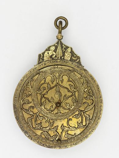
Astrolabe, Iran (Persia), 1700-1800
Victoria and Albert Museum, London
Instruments · 1701-1800
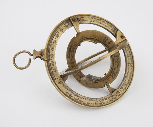
"Astronomical circles" brass part silvered 4in diameter, German, 1701-1800, or " armillary astrolabe"
Science Museum Group, London
Instruments · 1701-1800
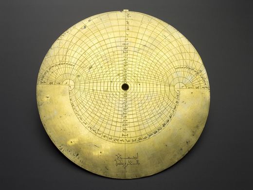
Astrolabe, Islamic world, 1701-1800
Science Museum Group, London
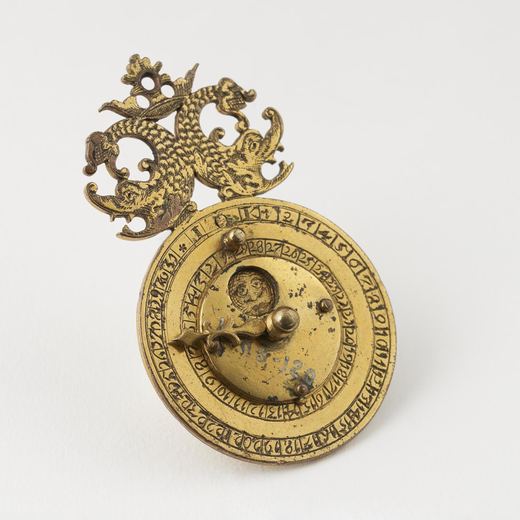
Instruments · 1701-1800
Perpetual calendar, gilt metal, 2½ x 9/16-inches, Germany, 1701-1800.
Science Museum Group, London
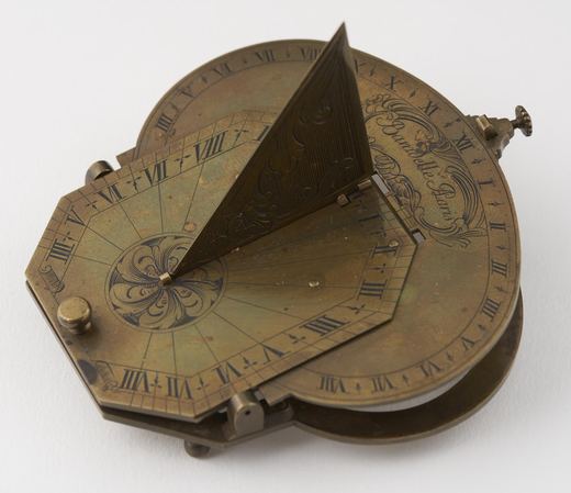
Instruments · 1701-1800
Small brass sun-dial, analemmatic, by Baradelle, Paris, France, 1701-1800 (see note).
Science Museum Group, London
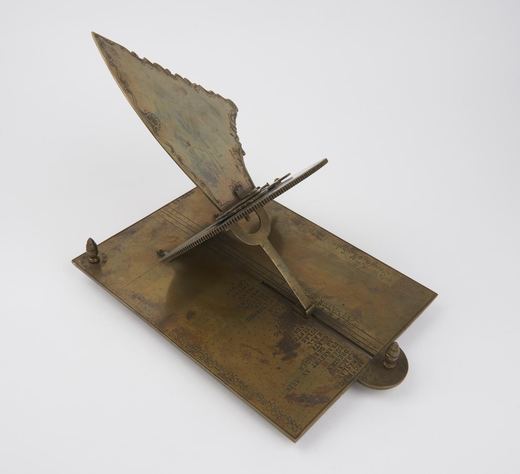
Instruments · 1701-1800
Sundial by Modestin, Joseph, Czech Republic, 1701-1800
Science Museum Group, London
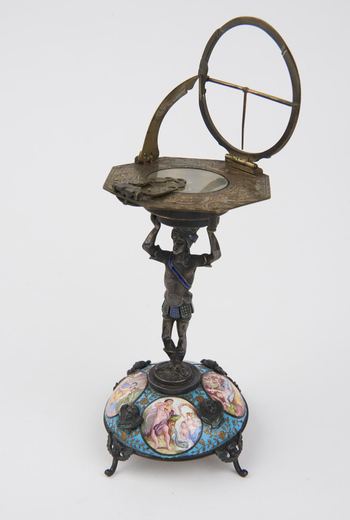
Instruments · 1701-1800
Sundial, Germany, 1701-1800
Science Museum Group, London
Instruments · 1701-1800
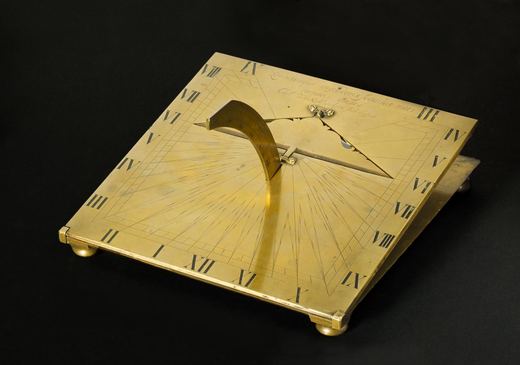
Universal equinoctial sundial signed "Carl Von Mandern fecit Hafnia" (Copenhagen), 18th century
Science Museum Group, London